
Agawam ZIP Code Labels
Two postal labels were identified for Agawam in the inspected sources. USPS uses Agawam, MA 01001 and Feeding Hills, MA 01030. These labels help validate a delivery address. They do not turn either postal service area into an official municipal-boundary map or establish a person's connection to an address. Preserve both the returned ZIP and preferred city label with the date of the check.
| ZIP | Areas covered | Post-office label | Notes |
|---|---|---|---|
| 01001 | Agawam label and Agawam Center or Agawam-area postal use | USPS label: Agawam, MA | Delivery area is not a town-boundary polygon. Verify the address. |
| 01030 | Feeding Hills label and local Agawam or Feeding Hills postal use | USPS label: Feeding Hills, MA | Do not equate postal city with municipal neighborhood or residence. |
No separate unique, institution-specific, or PO-box-only ZIP serving the municipality was identified in the official material inspected. The two rows above are delivery labels, not a census of every address or a substitute for a parcel search.
Agawam ZIP Directory Names
The postal contrast between Agawam and Feeding Hills is a useful local research check. A 2022 USPS Postal Bulletin pairs 01001 with Agawam and 01030 with Feeding Hills. A 2018 bulletin contains processing and listing entries as well. Neither source is a dated parcel-level ZIP-boundary map, so neither supports a claim that a particular municipal line or neighborhood boundary follows the postal label.
The Agawam ZIP code directory should therefore store two results rather than collapse them: the postal city and ZIP returned by USPS, and the municipal situs shown by a local parcel source. A third field may be a historical locality. This small distinction prevents a searcher from overwriting a source that says Feeding Hills, Agawam Center, North Agawam, or Agawam.
USPS labels are about delivery. They are not proof of municipal jurisdiction, a parcel boundary, a historical identity, or an occupant record.
Note: Save the USPS response exactly as returned, including the preferred city label and the date checked.
Verify Agawam ZIP Codes
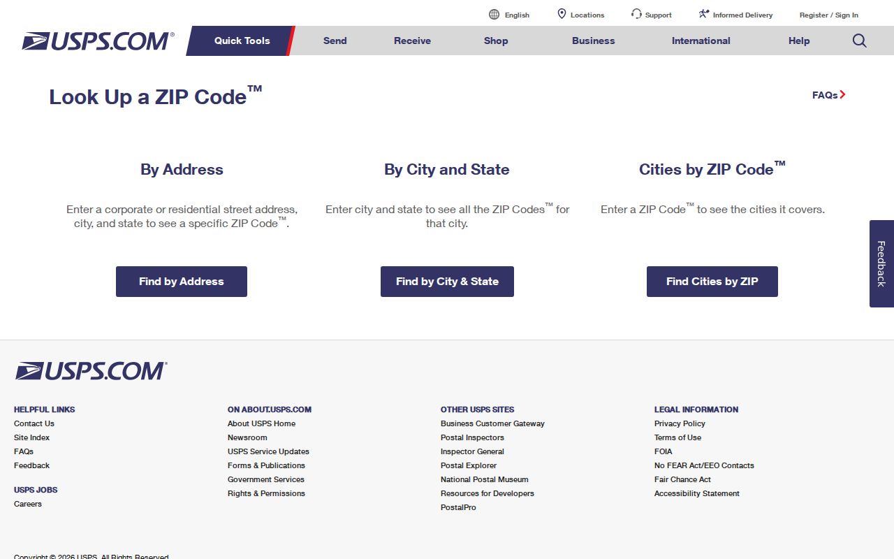
USPS ZIP Code Lookup is the address-level verification tool. Enter the street number and street name with the city and state or a ZIP as the form requires. Use the returned ZIP and preferred city label as postal data. It is not a ZIP-wide resident list, and a result does not resolve the municipal situs, parcel identifier, precinct, or older locality name.
| Street number | Enter the address number for the delivery address being checked. |
|---|---|
| Street name | Use the street wording that belongs to the address, retaining the source spelling in notes. |
| City and state | Use these fields when the postal form calls for a locality-based lookup. |
| ZIP | Use the five-digit value when the form accepts a ZIP-based route. |
| Returned result | Save the ZIP and preferred city label without rewriting either field. |
The USPS address-level form is the official starting point for an Agawam ZIP code check.
Agawam ZIP Code Lookup Fields
Postal validation and municipal record searching use different fields. The accessible VGSI Online Assessment Database landing page did not expose a ZIP-wide advanced filter, and the accessible Tighe Bond GIS interface did not expose one either. That is a documented research gap, not proof that the live tools can never offer such filtering. Test the current interface before assuming a ZIP-wide option exists.
| System | Field or input confirmed | What it returns | ZIP limit |
|---|---|---|---|
| USPS lookup | Street number, street name, city/state or ZIP | Postal ZIP and preferred city label | Address-level verification |
| VGSI assessment database | Dynamic landing page inspected | Assessment-card entry point | No ZIP-wide advanced control exposed in the capture |
| Tighe Bond public GIS | Search, suggestions and result tools inspected | Parcel and map context | No ZIP-wide advanced control exposed in the capture |
| Where Do I Vote | City/town or ZIP accepted with address fields | Polling place and election information | Not a ZIP-wide voter list |
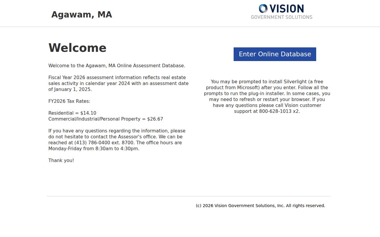
The VGSI assessment database landing view shows the local assessment search route used after postal validation.
Finding Records by Agawam ZIP
There is no documented Agawam portal that returns a ZIP-wide list of residents. Start from a known address and follow the official systems according to the field each one can confirm. USPS checks delivery labeling. GIS and assessment tools can supply municipal parcel context. The voter lookup accepts city/town or ZIP, but its result is polling information, not a resident roll.
- Validate the exact delivery address in USPS and save the returned ZIP and city label.
- Search the same address in the Agawam public GIS and VGSI assessment database.
- Record municipal situs, parcel ID and any displayed assessment context in separate columns from the postal result.
- Use Massachusetts Where Do I Vote only to confirm polling geography for an address.
- For a historic label, search Agawam, Feeding Hills, North Agawam and Agawam Center in the relevant historical collection.
After postal data narrows an address, the Agawam street directory has the fuller address-keyed record chain. Do not use a ZIP result as a shortcut around parcel, deed, or historical-source verification.
Agawam Postal and Parcel Fields
One address can have several valid geographic fields. Their meaning is different, and mixing them creates false matches. A municipal parcel source may use one situs address while a tax record holds a different mailing address. A deed may rely on a legal description that predates a current street number. A precinct is election geography and can change. Each field should carry its source and date.
- ZIP and ZIP+4
- A ZIP is the basic postal delivery code. ZIP+4 adds a more specific delivery segment and does not define town boundaries.
- PO-box ZIP
- A postal code assigned for post-office boxes. No separate PO-box-only Agawam ZIP was identified in the inspected sources.
- Unique ZIP
- A delivery code reserved for one organization or institution. No separate unique Agawam ZIP was identified in the inspected sources.
- Carrier route
- A USPS delivery grouping. It is not a municipal jurisdiction or a public list of people.
- Parcel ID
- The exact GIS or assessor join key, including punctuation and leading zeros, used to connect parcel records.
The Agawam Assessor and the public GIS are appropriate for municipal parcel context. If an old or disputed number needs investigation, the research route is Assessor, GIS, Planning, DPW, or a targeted public-records request. A request should seek an existing record; it does not require the town to create a ZIP history or boundary map.
Note: Keep postal ZIP, preferred city, municipal situs, parcel ID and precinct as separate dated fields.
Agawam ZIP Code Limits
ZIP areas and Agawam city limits are not the same kind of boundary. The inspected official sources did not provide a dated parcel-level ZIP boundary map, a per-ZIP Agawam population, a per-ZIP voter count, or an official explanation of every municipality-line mismatch. The correct response is to verify a particular address, not to draw a broad local boundary from a postal label.
A voter lookup illustrates the same limit. It accepts a city/town or ZIP with address fields and returns polling-place information. It does not publish all people within a ZIP. Municipal voter files have separate state access rules and protected fields, so polling geography should not be relabeled as a resident directory.
Agawam ZIP Directory Evidence Gaps
Several tempting claims remain unsupported. No postal realignment or split year was established for Agawam, and the 2018 and 2022 bulletin entries should not be presented as a full change history. No municipality-wide unique ZIP, PO-box-only ZIP, official ZIP-boundary polygon, parcel-level historic ZIP map, per-ZIP population, or per-ZIP voter count was located in the official sources reviewed.
That absence does not make the ZIP code directory thin. It makes the right workflow more precise: address-level USPS first, local parcel context second, and a request to the appropriate local office only for an existing municipal record. State the actual source range when a search has no result instead of turning a research gap into a conclusion about an address or a person.
The postal bulletins support the two label pairings, 01001 with Agawam and 01030 with Feeding Hills. They do not allocate every delivery point to a municipal line or establish a historical address change. If a library directory, Registry document, assessor card, or voter source uses a different locality label, preserve that wording. Then compare the modern parcel ID and municipal situs instead of overwriting an older record with a current ZIP convention.
Agawam Directory Locality Names
Historical records can predate modern ZIP use or rely on local labels that USPS does not foreground. The State Library and Springfield Suburban catalogue use Agawam, Agawam Center, Feeding Hills and North Agawam in their historical coverage. A name or street search should test those variants before calling a directory or archive result absent.
This is also a local geography lesson. Postal city, municipal situs, parcel, precinct and historical locality are different maps. Keep each source's spelling, then use a normalized working field to compare records without erasing what the original record said. That approach makes a ZIP search useful for delivery verification while preserving the historical labels needed for family and place research.