
Agawam Previous Residents by Era
Historic address work in Agawam becomes more reliable when each source is assigned to its own period and purpose. The Hampden Registry of Deeds provides the ownership trail, while directories and census schedules can place a household at an address for a particular printed or census date. Town reports, yearbooks, newspapers, and permits add context, but none alone establishes every person who lived in a house. Keep the source type separate from the conclusion it supports.
| Source | Years It Covers | Where Held | What It Shows |
|---|---|---|---|
| Registry history and deed index | History reaches 1636; current instructions split indexed searching after 1948 from earlier scans | Hampden Registry of Deeds | Recorded transfers, recorded interests, legal descriptions, plans, and document images |
| Selected Agawam directories | 1897-1968, selected years | Massachusetts State Library and local-history leads | Printed name and address associations |
| Feeding Hills directories | 1926, 1933, 1935, 1938, 1941, 1966, and 1968 | State Library holdings | Historical locality and postal-label variations |
| Springfield Suburban directories | 1904-1928, 1931-1935, 1938-1949, and 1953-1958, all with gaps | Microfilm catalog and library holdings | Suburban address associations, including Agawam labels |
| Town reports and yearbooks | Town reports 1891-1984; yearbooks 1927-2022, with a 2025 library update | Agawam Library links and collections | Municipal and school-era context |
| Federal census and permits | Census releases follow the 72-year rule; OpenGov serves recent permits from December 2024 | Federal research channels; Agawam departments | Household snapshots and dated work on a parcel |
Use the Registry first when the question is who held recorded title. Use Agawam directories and census records after a transfer is anchored to a time range, because an owner, a grantee, and an occupant may be different people. A permit can date work, not a move. The library’s historical materials are uneven by year, so a missing volume or a missing name is a coverage problem until another source confirms more.
Note: A recorded deed date establishes a transfer on the record, not the exact day a household moved into or left an Agawam address.
Agawam Past Residents Start With Parcels
For an Agawam address, capture the present parcel ID before chasing names. The Agawam Assessor, the VGSI assessment database, and the town’s public GIS viewer are the right starting points for the current situs address, parcel context, and owner-of-record field. Preserve the spelling, street suffix, parcel ID, fiscal-year label, and any map date shown by the live system.
A situs address is the location of the parcel. A mailing address, when shown, is a tax-contact field and can differ from it. That difference does not prove who occupied the site. The most useful short trail is: address to parcel ID, parcel ID to owner-of-record, owner name to the recorded deed, then deed book and page to the earlier instrument. That sequence gives past residents research a stable property reference even if a street label later changes.
Agawam Previous Residents at Index Split
The Hampden Registry of Deeds says its land-record history reaches to 1636, but its current search instructions distinguish fully indexed records after 1948 from scanned grantor and grantee indexes before that point. The Registry’s older FAQ language uses a different cutoff, so an Agawam search near that boundary should be checked against the live portal or the office instead of assuming one date settles every record series.
The Registry search portal provides the current search tabs used to move from a name, address, book and page, or entry date toward a document. Online images are described as free. A certified copy is a separate paid product, so save the image reference before deciding whether an official copy is needed.
The search modes are a useful bridge between a current Agawam parcel and the earlier deed references attached to it. They are not a substitute for reading the linked instrument.
Note: When the online path becomes a scanned index, record the year range and image citation before treating a no-hit as meaningful.
Agawam Past Owners Through Deeds
Follow the chain backward only after the parcel and present owner-of-record are clear. A deed index names parties to a recorded instrument, while the legal description and plan references tie that instrument to the same land. This process avoids turning two similar street names or two people with the same name into a false Agawam ownership history.
- Record the current parcel ID, situs address, owner-of-record field, and any current deed book or page shown by the assessor or GIS source.
- Search the current owner’s purchase or conveyance in the Registry by the available name, address, book and page, year, instrument number, or entry-date route.
- Confirm the grantor, grantee, legal description, plan reference, entry date, and document image before adding the transfer to the chain.
- Treat the prior grantor as a candidate seller for that conveyance, then search that name as an earlier grantee using supported spelling, spouse, or estate variations.
- Repeat the book-and-page and legal-description check backward. For early material, inspect the scanned index and confirm whether pre-1812 work belongs in Hampshire County or an archival record group.
The Hampden deed search is one access channel, not the only one. The Registry’s Springfield and Westfield offices, copy procedures, and the Massachusetts Archives or State Library finding aids remain the fallback when an index, image, or very early custody question cannot be resolved online.
- Grantor and grantee
- The grantor is the party conveying an interest; the grantee is the party receiving it in that recorded instrument.
- Chain of title
- A documented sequence of recorded transfers for the same parcel, checked against the land description rather than names alone.
- Legal description
- The land-identifying wording, plan reference, or bounds in a deed. It often survives address or numbering changes better than a street label.
Agawam Grantor and Grantee Trail
Grantor and grantee research uses two separate historical paths. The grantor index helps locate instruments where a person conveyed an interest, while the grantee index helps find earlier acquisitions. Either name can appear in more than one property transaction. Only the matching legal description, plan, date, and parcel relationship turn those hits into an Agawam address trail.
The Registry’s historical grantor-book instructions show the scanned-index workflow needed when the modern indexed search does not reach the required period.
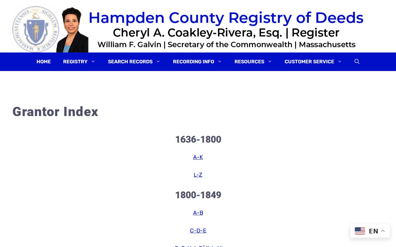
Read the index image as a finding aid, then locate the underlying book, page, or linked instrument before drawing a conclusion about past residents or a parcel transfer.
The historical grantee-index instructions provide the corresponding route for a buyer or recipient in the prior conveyance.
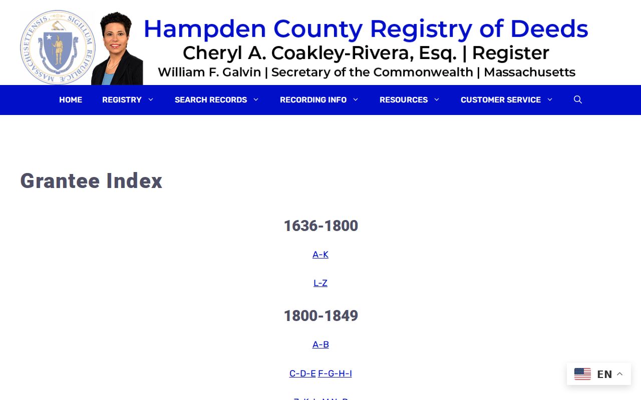
Moving between the two index types, with deed images and parcel references in hand, is what changes a list of names into a defensible chronological record.
Agawam Previous Residents and Locality Names
Agawam addresses do not always appear under one modern locality label. Historical directories may use Feeding Hills, North Agawam, or Agawam Center, and the Springfield Suburban title includes several of those place names. Search the surname and a street name without its suffix, then repeat with each locality label. Store the original printed locality alongside a normalized Agawam field rather than silently replacing it.
The library’s house-history material gives a second reason to preserve the original wording: a present-day street number may not be the number used in an older directory, newspaper, map, or deed. A failed exact-address search can mean a numbering or naming change. The parcel ID, legal description, map reference, and book/page are stronger bridges across that change than a modern street-number search by itself.
Agawam House History at Library
The Agawam Library local-history collection recommends a research sheet that brings together the current owner and build date from the assessor, MACRIS or National Register context, deeds, maps, and newspapers. Its approach keeps structure history, parcel history, printed occupants, historic designation, and current assessment facts in separate columns because those dates can differ.
The library’s house-history collection page describes local sources and their in-library limitations.
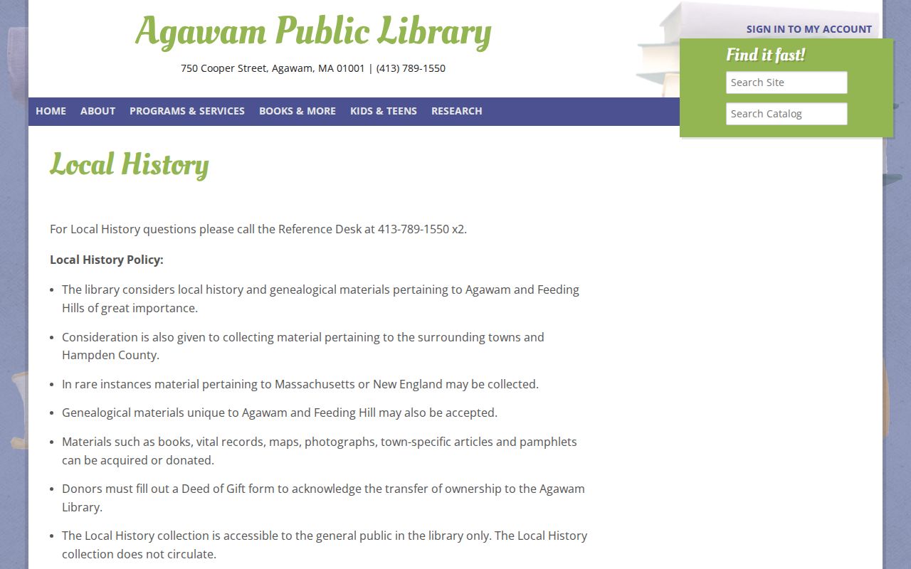
The library’s directories, maps, photographs, town reports, yearbooks, and newspapers can add the household layer after a deed chain establishes the parcel timeline. For the full runs and access gaps, the Agawam city directory collections are the useful companion source.
MACRIS is the state historic-resource route for documented properties. It can provide historic-resource context, but a designation does not identify every past household. The Agawam Historical Commission and local-history organizations are related leads, not interchangeable custodians of the same records.
Agawam Past Households by Address
Owners are only one layer of an address history. A directory, census schedule, yearbook, town report, or newspaper notice may show an Agawam name associated with a place or period, but each has a different scope. The federal census is released under a 72-year rule and is a snapshot, not a continuous record. Match the date of a printed source to the deed-chain interval instead of assuming the people on a deed lived at the property.
- Set the deed transfer dates as the outside bounds for each ownership interval.
- Check selected Agawam, Feeding Hills, and Springfield Suburban directory years within that interval, noting title and locality exactly.
- Pair an available directory year with the nearest released federal census, while keeping the census date and address form distinct.
- Add town reports, yearbooks, maps, or newspapers only as dated context, and label gaps instead of filling them with assumptions.
Agawam Mirror, Agawam Advertiser, and school-yearbook coverage has real gaps, and the research did not capture a readable directory entry page. A name absent from one issue is not proof of vacancy or departure. The useful result is a source timeline that says which years were checked, which locality term was used, and whether the evidence identifies an owner, a printed address association, or a household snapshot.
Agawam Previous Residents: Probate and Permits
Probate can help close a historical ownership trail when a deed names an estate, fiduciary, or heirs. The state’s historic probate guide lists Hampden index coverage for 1812-1986, docket books for 1858-1916, record books for 1814-1929, and file papers for 1809-1881. Those ranges identify archival coverage, not a promise that every file can be read remotely. The Probate register, court rules, and archive channels govern actual access.
Permits answer a narrower question: when did recorded work occur at an Agawam parcel? Recent Engineering-permit workflow moved to OpenGov in December 2024. Earlier permit files may be held by the department or reached through the town’s public-records request route. A work date may explain a change to a structure, but it does not establish who moved in, moved out, or occupied the address.
Note: Preserve probate and permit dates beside the deed citation, because each record describes a different event in the history of an Agawam parcel.
Agawam Previous Residents and Parcel Stories
A house history can also be a local landscape history. The research record distinguishes agricultural Feeding Hills, mill-related North Agawam, the streetcar-era Springfield Street corridor, and later automobile-era expansion. That context can help explain why maps, directories, newspapers, and property records use different descriptions of nearby places. It should never become a claim that a particular household shared a local story without a source tied to that address.
Hampden County was created from Hampshire County in 1812, while Registry history reaches to a 1636 land-record claim. For an early Agawam parcel, that boundary is a custody question as much as a search question. Mark the earliest record found, the repository that supplied it, and any unresolved gap. A careful address history is useful precisely because it shows what the records establish and what they do not.