
Agawam Neighbors by Parcel Block
Public sources describe a block in layers. The public GIS locates parcels and their map relationships. The Assessor and VGSI assessment route can supply an owner-of-record field, situs address, and assessment characteristics. The Registry can document a recorded transfer. Historic directories may provide a printed name-and-address association for a selected year. None of those sources prove that an owner lives at the parcel, that a nearby person belongs to a household, or that two people have a social connection.
| Source | What it shows about an Agawam block | Access |
|---|---|---|
| Tighe Bond GIS | Parcel IDs, mapped location, adjacent and abutter relationships, measurement tools | Public viewer with dynamic results |
| Assessor and VGSI | Owner field, situs and mailing fields, assessment traits | Public assessment route; live search controls vary |
| Hampden Registry | Recorded transfer parties, dates, legal descriptions, plans | Index and image path; certified copies cost money |
| Polling-place lookup | Polling place and election geography for one address | Public address tool, not a voter list |
| Library directories | Historic printed address or locality association | Selected years and access limits |
The key distinction for Agawam neighbors is owner versus occupant. A mailing address can differ from a situs address for many reasons, and an assessed owner is not a finding about today’s household. Keep the exact displayed field, fiscal year, and parcel ID with every observation. That makes it possible to correct a wrong parcel match without turning a map relationship into a claim about people.
Start Agawam Neighbors With a Parcel
Use the Tighe Bond Agawam public GIS to locate the subject address. Its inspected controls include Search and suggestions, Identify, Parcel Details, Summary, View Details, and Add or Remove Parcel. The result layout can include an ID, owner, address, parcel address or owner, and other fields. Because the viewer is dynamic, record only what the live result actually displays rather than assuming every parcel card contains the same values.
Parcel ID is the useful join key. Street numbers can be close, formatted differently, or altered over time, while the parcel identifier links the map view to assessment and deed work. The Assessor’s property-card route adds assessed land and building traits, but those values are for assessment. They are not a sale price or title opinion. A subject-parcel record should retain situs and mailing fields separately.
The accessible VGSI landing page did not expose every dynamic owner, address, parcel, or map control during the research pass. Its FY2026 context says the assessment reflects 2024 sales and a January 1, 2025 assessment date. That context helps date an assessment result, but it does not turn the result into proof that someone occupies the parcel. When a card displays sale or permit references, verify each one against the Registry or the responsible town department before drawing a historical conclusion.
The Agawam Assessor page links the local property-card and GIS routes used for block research.
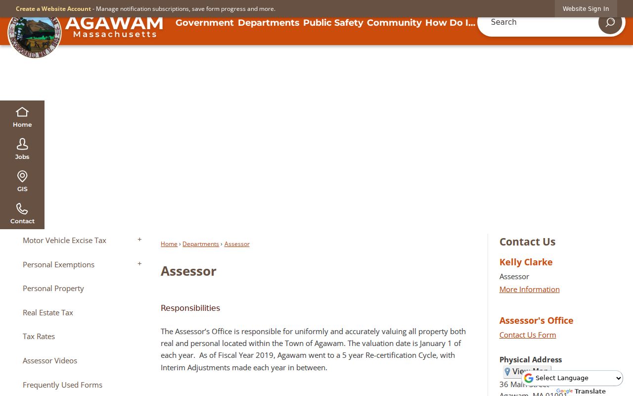
The linked tools are a sound first check for the subject parcel, but their owner fields remain ownership context rather than proof of residence.
Agawam GIS Adjacent-Parcel Tools
Once the subject parcel is visible, the GIS offers Adjacent, Find Abutters, and Abutter Distance tools. Adjacent and Find Abutters identify parcel relationships around the selected property. Abutter Distance measures a specified distance. Measure Ft/SqFT can measure length or area, while Print Map, Print Labels, and Export Report provide ways to preserve a map or result set. A measurement describes geometry only. It does not identify an occupant or establish a relationship between neighbors.
Use a small, defined set. Add nearby parcels one at a time, preserve the map scale and date, then remove them when the comparison is complete. The viewer’s Layers and Identify controls can change what appears on a map. Dynamic layer names were not captured in the research, so it is better to cite a feature and the date viewed than to state a layer rule that may later change.
Note: Record the subject parcel, comparison parcel IDs, map date, scale, and selected tool so a block observation can be repeated without retaining personal details.
Map an Agawam Neighbors Block
The adjacent-parcel workflow keeps the research limited to the immediate block. It begins with a known address and works outward through parcel geometry, then checks records with distinct meanings. That approach is more accurate than relying on a shared street name or an unverified neighborhood label.
- Search the Agawam address in the GIS, select the subject parcel, and save its ID, situs field, and map date.
- Use Identify, Adjacent, or Find Abutters to create a small comparison set of surrounding parcel IDs.
- Open Parcel Details or View Details for each parcel and note only the displayed owner, address, and field date.
- Compare a recorded transfer in the Registry when ownership timing matters, then stop if the question shifts from the immediate block to a whole street.
For a full named-street record chain, use the Agawam street directory. It follows records by address over a broader corridor, while this method stays with the parcels around one address.
Agawam Neighbor Parcel Fields
Assessment and Registry fields have different meanings. The Assessor describes what the municipality values and records about a parcel. A Registry instrument documents what was recorded as transferred. A directory prints a name and address association for its date. These records can complement one another, yet each must retain its source date and wording. A deed grantee is a party to a transfer, not a conclusive current occupant.
| Record type | Best use around an Agawam block | What it does not establish |
|---|---|---|
| Assessment card | Current tax description and owner field | Occupancy or a full ownership history |
| GIS parcel | Parcel geometry and nearby parcel relation | Social connection or household makeup |
| Recorded deed | Transfer date, parties, legal description | Move-in date or present residence |
| Historic directory | Dated printed association | Continuous presence or current contact information |
This comparison is especially helpful in Agawam because a parcel may sit within a locality label such as Feeding Hills, North Agawam, or Agawam Center. Postal label, parcel municipality, precinct, and historic locality are different geographies. Preserve the source label instead of forcing them into one field.
Agawam Polling Geography, Not a List
The Massachusetts polling-place lookup takes an address and returns polling-place and election information. It is useful when a block question is really about precinct geography. It is not a search for neighbors or registered voters. Agawam has eight precincts, and Precincts 6 and 8 share Clark School. Preserve the precinct number, not only the polling-place name, when recording an election-geography result.
A municipal voter file may lawfully expose limited public fields, including name, address, party, date of birth, active or inactive status, voter ID, and certain dated registration fields. Phone, email, veteran status, permanent-absentee status, confidential-voter records, and minors’ information are not public. Statewide voter data is not an ordinary public list. Ask the local election office for a defined date range and only public fields when a lawful record question remains.
Note: A polling-place result supplies address-based election geography only, so it should never be converted into a claim about registered people nearby.
Agawam Community Organizations and Neighbors
The public community layer is not the same as a block roster. Agawam’s Community Organizations page points to the Agawam Chamber, Rotary, Lions, Friends of the Library, Historical Association, and other cultural or service groups. Their public event and news material can supply civic context. The research did not locate a public membership directory, a complete public organization-name index, or an official HOA directory. Do not infer membership from an organization’s presence on the municipal page.
Agawam Chamber
Listed by the town as a community organization. Use public event material as civic context, not a membership list.
Rotary and Lions
Listed service-group routes may document public events or dates, but no Agawam-wide roster was located.
Friends and Historical Groups
Friends of the Library and historical organizations can guide local-history research without identifying current households.
The Agawam Community Organizations page is the official starting point for that public community layer.
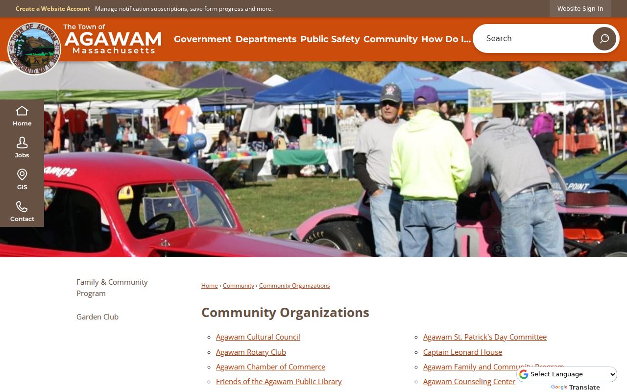
The municipal listing directs readers to organizations, but it does not grant access to private member or household information.
Agawam Neighbor Maps Change
A block can carry several historical geographies at once. Feeding Hills has an agricultural and larger-landscape context, North Agawam is tied to mill history, Springfield Street has streetcar-suburban context, and later automobile-era expansion changed development patterns. A parcel map shows a current boundary; it does not tell the complete story of a past household. For an older property question, pair the map with a directory year, a deed date, and an historic-resource source.
The Agawam Historical Commission is the official route to historic-resource context and related MACRIS material. It is separate from a private historical association, and no complete association holdings index was located.
Historic-resource material can explain a corridor or landmark, but it should not be used to invent an unverified resident history.
Note: A current parcel boundary and a historic locality label describe different maps, so preserve both before comparing records from different periods.
Privacy Limits for Agawam Neighbor Lookup
Private household details remain outside an ordinary neighbor lookup. Non-owner occupants, utility and delivery records, RMV address data, protected voter fields, confidential voters, and sealed court or vital records are not block-research tools. The Massachusetts Address Confidentiality Program protects an eligible participant’s designated substitute-address process. Its presence is a safety boundary, not an invitation to search for a protected address.
Official parcel and assessment sources state what they hold and when they were updated. Commercial neighbor-search tools can combine public and purchased information, often without a clear source date or field meaning. Use the official parcel, deed, voter-geography, and library routes when the question is lawful and narrow. A record that cannot be confirmed should remain uncertain.
Lawful use. Agawam neighbors research is for lawful personal curiosity, reconnecting, local history, and civic context. Do not use any result to stalk, harass, intimidate, or harm another person.