
Tracing an Agawam Street Directory
A street-by-street search starts with one exact address, not a loose street name. The goal is to preserve the record relationship at each step. Assessment and GIS sources show current parcel context. A Registry image shows a recorded transfer. A directory may show a dated historical association. Municipal voter material, when lawfully requested, is a dated registration record with statutory limits. None of those sources provides a complete list of everyone inside every home on the street.
- Validate the number, street name, and suffix with the USPS address lookup, then retain the returned postal label.
- Find the location in the Agawam assessor or VGSI route and capture the parcel ID, situs address, fiscal year, and owner-of-record field.
- Open the same location in Tighe Bond GIS, use Identify or Parcel Details, and review adjacent or abutter relationships one parcel at a time.
- Search the Hampden Registry by name, address, book/page, year/instrument number, or entry date, then read the recorded image and legal description.
- For a past household, check the appropriate dated directory, town report, newspaper, or yearbook at the Agawam Library and record source gaps.
Note: A mailing address may differ from the physical situs, so it must never be treated as proof of where a person lives.
Agawam Address Parcel Key
The Agawam Assessor and VGSI assessment database are the first local property routes. The accessible VGSI landing view did not reveal all dynamic live controls, so an actual search should be checked against the interface. The town identifies property-card details such as size, type, construction quality, rooms, baths, fireplaces, heating, land area, location, and possible permit information. These fields describe the assessed parcel; a field should not be recast as an occupancy claim.
The parcel ID is the best bridge between a street address, GIS result, and deed. Preserve it exactly, including zeros and punctuation. Keep owner mailing and situs addresses as separate fields. A mailing value is an assessment correspondence field. A situs is the physical location used in assessment and GIS. The distinction matters whenever an address research result is compared with a deed or a historical directory.
Open the Assessor entry page before starting a street-directory search.
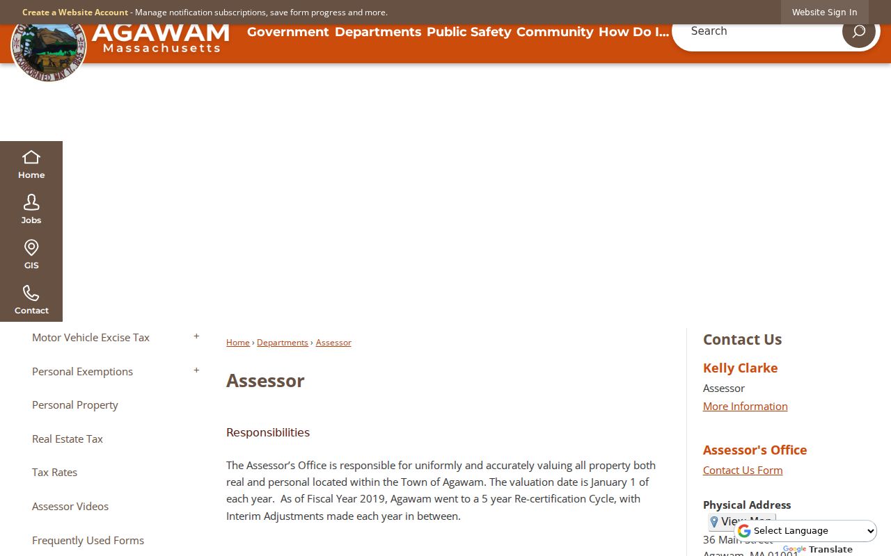
The town page links the assessor, parcel, GIS, and deed layers that make an address trail traceable.
Agawam Address Assessment Fields
Dynamic form capture for the VGSI system remains incomplete, but the research confirmed these result concepts and their proper use. Treat a search field marked as dynamic as something to confirm during the live session. The FY2026 assessment context uses 2024 sales and a January 1, 2025 assessment date, so the fiscal year belongs in every note.
| Agawam field or control | Format | Use in a street search |
|---|---|---|
| Street address | Dynamic address search | Use the exact number, name, and suffix, then validate against GIS. |
| Owner name | Dynamic text/search | Confirm the live control; record as owner of record only. |
| Parcel ID | Result field or link | Preferred key for joining the card, map, and Registry research. |
| Situs and mailing address | Result fields | Keep physical and tax-correspondence locations distinct. |
| Land/building/total value | Result fields | Assessment information, not a current market-price conclusion. |
Use the VGSI landing page to reach the current assessment interface.
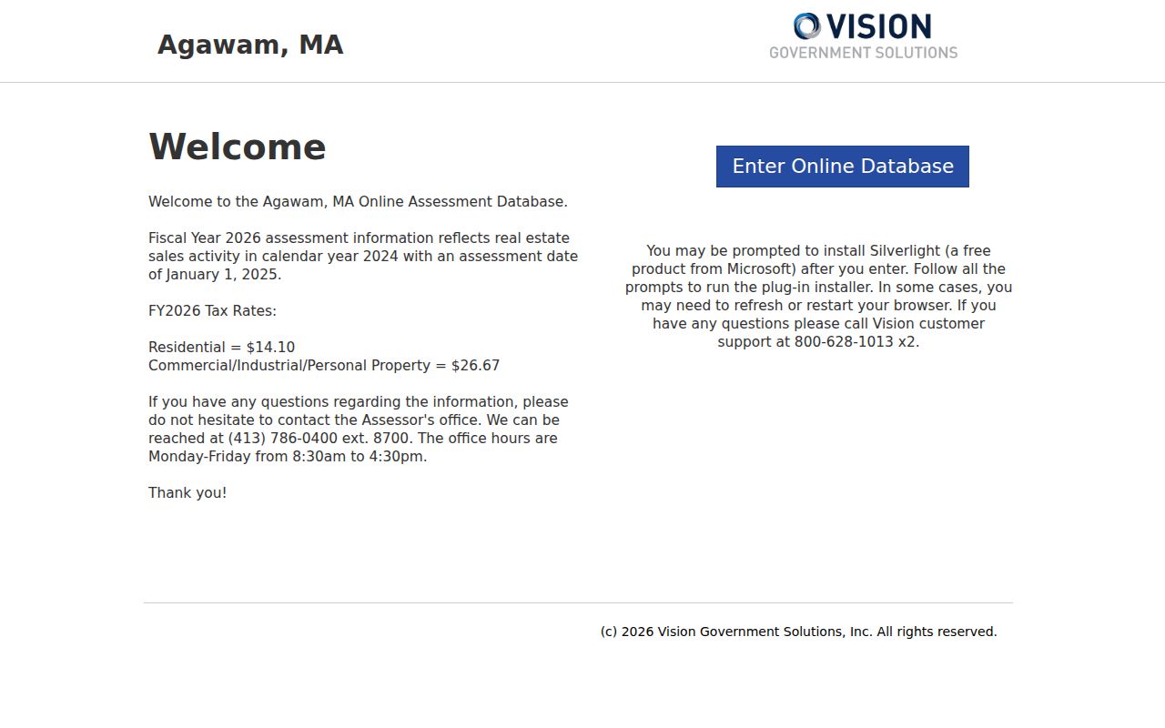
The captured view establishes the official assessment destination without claiming unobserved dynamic search fields.
Agawam Street Map Tools
The Tighe Bond GIS viewer is designed for parcel geography. It exposes a search box with suggestions, Layers, Identify, Maps, Parcel Details, Summary, View Details, Adjacent, Find Abutters, Abutter Distance, measurements, print labels, map printing, and report export. Use one parcel at a time. Record the map date and scale if a map becomes part of a research note. Layer names and some results remain dynamic, so do not assume an unavailable layer exists.
A neighboring-parcel result is a map relationship. It does not prove a personal, social, or household relationship. For a whole street, repeat the parcel process only where a legitimate research question calls for it, and keep each parcel's source date. The street directory becomes more reliable when street number, GIS ID, and Registry legal description all agree.
- Parcel
- A mapped land unit used by the assessor and GIS; it is a stable connector across local record systems.
- Situs address
- The physical property location, which can differ from a correspondence or mailing address.
- Plat or plan
- A recorded map reference that can explain a parcel boundary or subdivision in a deed.
- Criss-cross directory
- An address-oriented historical directory arrangement, useful only for editions that actually provide it.
Agawam Street Directory Record Chain
Address-keyed records answer different questions along an Agawam street. The assessor and GIS identify parcel context. Registry instruments identify recorded parties and transfers. A polling-place lookup shows election geography, while a defined municipal voter-file request may have limited public information subject to state rules. Recent Engineering permit work uses OpenGov, and earlier files may be held by the department. Library collections supply historical address context, not a present-day household count.
| Address record | Agawam keeper | What it establishes | Access route |
|---|---|---|---|
| Assessment card | Agawam Assessor | Owner field, situs, valuation, characteristics | VGSI, office, or defined records request |
| Parcel map | Tighe Bond GIS | Parcel geometry, ID, adjacent/abutter relationships | Public viewer with dynamic layers |
| Recorded instrument | Hampden Registry | Transfer parties, book/page, legal description | Web index/image or Registry counter |
| Election geography | Secretary/Agawam Clerk | Polling location, or limited dated voter fields by request | Address tool and lawful local request |
| Permit file | Engineering/Inspectional Services | Address or parcel work trail | OpenGov for recent route; department for earlier files |
The parcel number connects the property card, GIS, deed, and permit routes. The street name is a useful search input, but the legal description and parcel ID are stronger identifiers once the street label changes or a historical directory uses a locality variant.
Agawam Address Deed Trail
Use the Hampden Registry search portal after the parcel and legal-description trail is known. The Registry instructions identify name, address, book and page, year and instrument number, and entry-date paths. They describe full indexing after 1948 and scanned grantor/grantee index work before 1948. The research also notes older Registry FAQ wording that differs from the current instructions, so the live portal or Registry office should settle any coverage question.
Read the underlying image. Capture grantor and grantee names, instrument type, execution and entry date, book/page or instrument number, consideration if shown, legal description, plan reference, prior deed, and marginal references. A grantor transfers an interest; a grantee receives it. That chain may help explain an earlier owner, but the instrument date does not state a move-in date. Free online images are not certified copies and are not a title opinion.
Review the Registry's search instructions before beginning an older address trail.
The official search modes support a precise address, book/page, or party-name follow-up rather than a broad inference from a street label.
Agawam Street Permit History
Engineering permits are an address-keyed part of the street record trail. Agawam moved recent permitting workflows toward OpenGov in December 2024 for driveway, road-opening, and trench permits, including online payment, status, and copies. The research did not capture the live OpenGov field set, so do not promise a particular address, applicant, or status filter. For earlier permit files, contact the department or use the town's public-records process with a clear address, parcel ID, record type, and date range.
Permit activity records work performed or an administrative process. It does not identify every person associated with a property. A permit becomes most useful alongside a recorded transfer, assessor build information, or dated town report. The same disciplined distinction keeps a street directory from making more of a record than the record supports.
Agawam's public-records guidance names Inspectional Services, Engineering, DPW, Planning, Zoning, and the Treasurer among the departments that can hold address-related activity. Match the request to the actual custodian. For example, ask Engineering for a defined permit record, Planning for a subdivision or map record, or the Treasurer for an existing tax-related record. The request can be delivered through the town portal, form, mail, fax, email, phone, or in person. Electronic delivery may avoid ordinary copying charges when the city can provide the existing record that way.
Agawam Street Locality Labels
An address can carry several valid labels. The ZIP research identifies 01001 with Agawam and 01030 with Feeding Hills, but USPS delivery labels are not city-boundary maps. Historic materials can use Feeding Hills, North Agawam, or Agawam Center. A deed may use a legal description without a modern street number. Search each version when a directory, map, or Registry path appears incomplete, then store the original printed label alongside the normalized municipal address.
The USPS ZIP lookup validates an individual delivery address. The polling lookup accepts a city/town or ZIP but returns polling information, not a resident list. For current and past address research, preserve the postal city, municipal situs, parcel ID, precinct, directory locality, and source date as separate facts.
Note: A no-hit in one spelling, ZIP label, or directory year is a source limitation, not proof that an address did not exist.
Agawam Address History Sources
For an older street association, the Agawam Library local-history collection supplies the practical fallback. It lists local books, maps, photographs, newspapers, directories, yearbooks, graduate lists, and town reports. The State Library lists selected Agawam directory years from 1897 through 1968, and Feeding Hills editions for selected years. Springfield Suburban directory coverage includes Agawam-area labels with documented gaps. These sources can place a name at an address in an edition year, but no direct readable criss-cross entry was captured for this project.
A house-history search should place a library citation beside the parcel ID, recorded deed, map date, and directory year. The library advises that a present address may not be the original one. Do not read a missing directory edition as an empty house or a missing person. The Agawam city directory page addresses the historical collection runs without duplicating the current parcel workflow.
Town reports, listed by the library from 1891 through 1984, can add public-works and municipal context between directory years. Use them to date a local project or official activity, not to invent a household connection. High-school yearbooks, digitized newspaper runs, and graduate lists are likewise historical context sources. A research note should identify the title, year, page or image, locality spelling, and whether the source was read online, in the library, or from a catalog description.
Agawam Street Landscape Clues
Street research in Agawam gains context from the changing local landscape. Official history and planning material describe agricultural Feeding Hills, mill-related North Agawam, the Springfield Street streetcar-suburb corridor, and later automobile-era expansion. A map, historical directory locality, or deed description may carry one of those place patterns. That context can help choose a library, map, or Registry search term without assigning an unverified household story to a parcel.
Older addresses should therefore be traced through their original locality label, a dated parcel or map source, and the legal description when possible. A street name alone may not survive every record system. The useful outcome is a documented location trail, not an assumption about the people who once lived there.
Agawam Address Record Limits
An Agawam street directory cannot supply a complete household roster. It does not expose private utility or delivery-customer information, RMV personal data, confidential voter records, protected addresses, or every non-owner occupant. The Massachusetts Address Confidentiality Program uses a substitute address process for eligible participants, and voter guidance withholds specified protected fields. A map's adjacent-parcel tool also does not establish a relationship between the people connected with nearby parcels.
Lawful use. Agawam address records are for personal, lawful research. Do not use a source, map, or record trail to stalk, harass, intimidate, or harm anyone; Massachusetts law provides protections against stalking and criminal harassment.